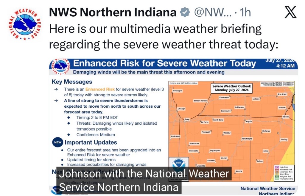
(7-27-26) Thunderstorms are in the forecast for tonight.
Hazardous Weather Outlook
Hazardous Weather Outlook
National Weather Service Wilmington OH
346 AM EDT Mon Jul 27 2026

INZ050-058-059-066-073>075-080-KYZ089>100-OHZ026-034-035-042>046-
051>056-060>065-070>074-077>082-088-280800-
Wayne-Fayette-Union-Franklin-Ripley-Dearborn-Ohio-Switzerland-
Carroll-Gallatin-Boone-Kenton-Campbell-Owen-Grant-Pendleton-Bracken-
Robertson-Mason-Lewis-Hardin-Mercer-Auglaize-Darke-Shelby-Logan-
Delaware-Miami-Champaign-Clark-Madison-Licking-Preble-Montgomery-
Greene-Pickaway-Fairfield-Butler-Warren-Clinton-Ross-Hocking-
Hamilton-Clermont-Brown-Highland-Adams-Pike-Scioto-
346 AM EDT Mon Jul 27 2026

This Hazardous Weather Outlook is for east central Indiana,
southeast Indiana, northeast Kentucky, northern Kentucky, central
Ohio, south central Ohio, southwest Ohio and west central Ohio.

.DAY ONE...Today and tonight.

Patchy fog has developed this morning. Locally dense fog will be
possible prior to improving shortly after sunrise.

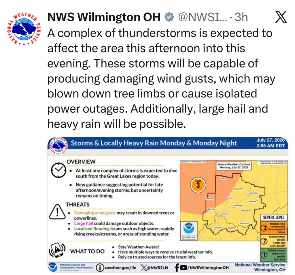
Severe thunderstorms are possible this evening into tonight.
Damaging winds are the primary threat. Large hail and heavy rain are
also possible.

Maximum heat index values between 95 to 100 are possible this
afternoon.

.DAYS TWO THROUGH SEVEN...Tuesday through Sunday.

There is a low probability for widespread hazardous weather.