(1-2-26) Warm up headed to the Stateline for the upcoming week.
A warmer and wetter weather pattern is favored for next week, particularly by mid week and beyond. Much above normal temperatures and several rounds of rain will be possible during this stretch. pic.twitter.com/i2ec00QicC
— NWS Wilmington OH (@NWSILN) January 2, 2026
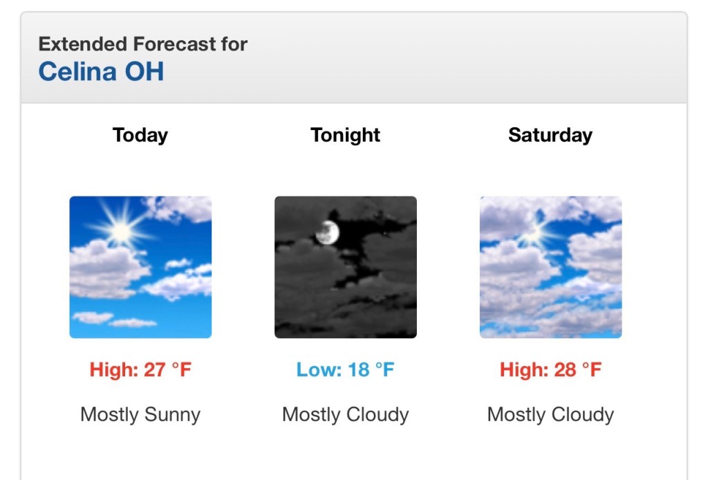
Rather cloudy today with high temperatures in the 20s. These cooler than normal temperatures prevail through the weekend but with a few peeks of sunshine possible. #inwx #ohwx #miwx
— NWS Northern Indiana (@NWSIWX) January 2, 2026
Full forecast: https://t.co/QFs72S9OfN pic.twitter.com/XTaL7GZuyA
If you think this has been a snowy start to the season, there is evidence to support it! We've been keeping track of every snowfall here at the TV station. As of January 1st, we've ALREADY seen more snow accumulation in Lima so far for this cold weather season than during the… pic.twitter.com/uDEO9Dv5Qi
— Adam Musyt (@AMusytWLIO) January 2, 2026
You may not really notice it today, but we are starting a slow warm up that will carry us through the weekend 🙂📈
— WANE 15 Weather (@wanewx) January 2, 2026
Temperatures climb a little more each day 🌤️➡️🌤️ and a true January thaw arrives next week🌡️😎
More details anytime at https://t.co/waVSUmTNXo 🌦️📱 pic.twitter.com/HK3DaUo8bN
